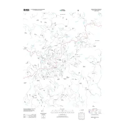
2013 Map of Highlands
USGS Topo · Published 2013About this map
The town of Highlands sits at the center of this high-altitude landscape, where the Cullasaja River flows through a series of significant lakes including Lake Sequoyah, Mirror Lake, and Harris Lake. The 2013 survey illustrates a complex network of residential development winding through the ridges, contrasted with the protected natural features of the surrounding national forest lands. Local landmarks like Bridal Veil Falls and Dry Falls characterize the dramatic descent of the local waterways, while the Big Creek Bridge serves as a key crossing point in the north. To the east, the map detail extends to Horse Cove and the various ridges of the Blue Ridge Mountains, including Billy Cabin Ridge and Shortoff Mountain. This edition captures the established character of this mountain community, showing the density of named residential roads such as Mirrormont Dr and Hickory Hill Rd alongside recreational points like Vanhook Glade Campground.
Find a feature on this map
233 named features on this map. Tap any name to fly to it.
Don’t see what you’re looking for? This feature index may not catch every label — zoom into the map to look around manually.
Map Details
Editions of this 2013 Highlands Map
This is the sole edition of this map. No revisions or reprints were ever made.
Other maps of this area

1886 · Walhalla
USGS Topo · 1:125,000

1891 · Cowee
USGS Topo · 1:125,000

1892 · Walhalla
USGS Topo · 1:125,000

1896 · Walhalla
USGS Topo · 1:125,000

1897 · Cowee
USGS Topo · 1:125,000

1907 · Cowee
USGS Topo · 1:125,000

1935 · Cashiers
USGS Topo · 1:24,000

1935 · Scaly
USGS Topo · 1:24,000

1935 · Rabun Bald
USGS Topo · 1:24,000

1935 · Glenville
USGS Topo · 1:24,000