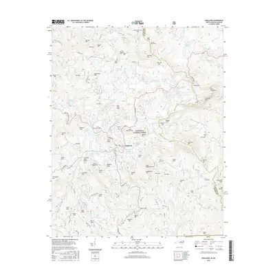
2016 Map of Highlands
USGS Topo · Published 2016About this map
Highlands occupies a high plateau within the Nantahala National Forest, where the Eastern Continental Divide shapes the headwaters of major river systems. This survey captures the town's orientation around Main St and S 4th St, surrounded by a high-elevation landscape of peaks and coves. To the east, Whiteside Mtn and Devils Courthouse tower over the Whiteside Cove area, while the Cullasaja River and Chattooga River begin their descent from these mountains. The map illustrates a community defined by its geography, featuring numerous water bodies like Ravenel Lake and Cliffside Lake. Researchers can locate legacy sites including the Highlands Cem and the remote Horse Cove Cem near Granite City, reflecting the deep-rooted settlement patterns of this corner of the Cowee Mountains along the border of Macon County and Jackson County.
Find a feature on this map
135 named features on this map. Tap any name to fly to it.
Don’t see what you’re looking for? This feature index may not catch every label — zoom into the map to look around manually.
Map Details
Editions of this 2016 Highlands Map
This is the sole edition of this map. No revisions or reprints were ever made.
Other maps of this area
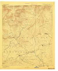
1886 · Walhalla
USGS Topo · 1:125,000
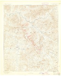
1891 · Cowee
USGS Topo · 1:125,000
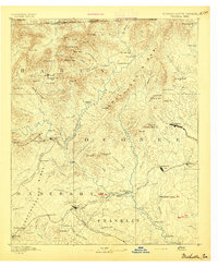
1892 · Walhalla
USGS Topo · 1:125,000
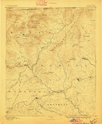
1896 · Walhalla
USGS Topo · 1:125,000
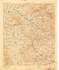
1897 · Cowee
USGS Topo · 1:125,000
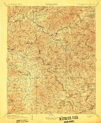
1907 · Cowee
USGS Topo · 1:125,000

1935 · Cashiers
USGS Topo · 1:24,000
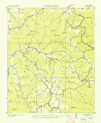
1935 · Scaly
USGS Topo · 1:24,000
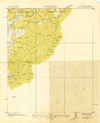
1935 · Rabun Bald
USGS Topo · 1:24,000
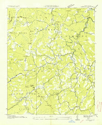
1935 · Glenville
USGS Topo · 1:24,000