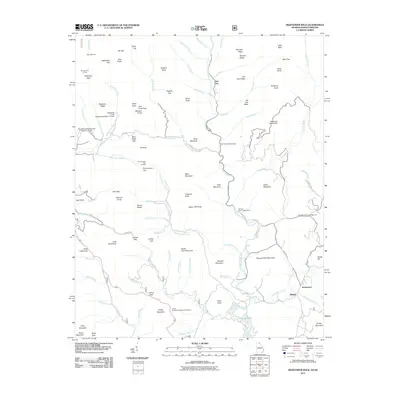
2011 Map of Hightower Bald
USGS Topo · Published 2011About this map
Tate City sits deep in the mountain landscape where the Tallulah River begins its southward course, marking a remote settlement pattern in this Georgia and North Carolina border region. The area is defined by sharp peaks and high-elevation gaps, such as Hightower Bald and Bly Gap, which have long served as navigation points for travelers crossing between the two states. The settlement of Persimmon and the community of Blalock anchor the southeastern portion of the map, connected by roads like Persimmon Rd that follow the winding valley of Persimmon Creek. This terrain is also a destination for recreation, featuring several organized campsites including the Tallulah River Campground and the Plumorchard Gap Shelter for those traversing the higher ridges. The southern edge of the survey captures the headwaters of Lake Burton, where the river network begins to widen into the reservoir system.
Find a feature on this map
103 named features on this map. Tap any name to fly to it.
Don’t see what you’re looking for? This feature index may not catch every label — zoom into the map to look around manually.
Map Details
Editions of this 2011 Hightower Bald Map
This is the sole edition of this map. No revisions or reprints were ever made.
Other maps of this area

1886 · Dahlonega
USGS Topo · 1:125,000

1886 · Walhalla
USGS Topo · 1:125,000

1891 · Cowee
USGS Topo · 1:125,000

1892 · Dahlonega
USGS Topo · 1:125,000

1892 · Walhalla
USGS Topo · 1:125,000

1896 · Walhalla
USGS Topo · 1:125,000

1896 · Dahlonega
USGS Topo · 1:125,000

1897 · Cowee
USGS Topo · 1:125,000

1903 · Dahlonega
USGS Topo · 1:125,000

1907 · Cowee
USGS Topo · 1:125,000