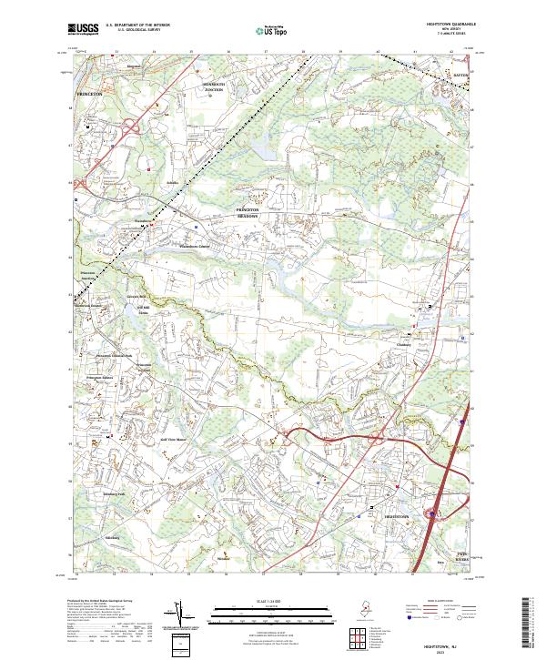
2023 Map of Hightstown
USGS Topo · Published 2023About this map
The Middlesex and Mercer County line bisects this modern landscape, where historical rural junctions meet suburban expansion. At the northern edge, the James Forrestal Campus of Princeton University and the settlement of Kingston signal the area's academic and transit importance. The Millstone River and Cranbury Brook wind through a series of established communities, from the industrial proximity of Monmouth Junction to the residential clusters of Plainsboro and Grovers Mill.
Find a feature on this map
74 named features on this map. Tap any name to fly to it.
Don’t see what you’re looking for? This feature index may not catch every label — zoom into the map to look around manually.
Map Details
Editions of this 2023 Hightstown Map
This is the sole edition of this map. No revisions or reprints were ever made.
Other maps of this area

1888 · Bordentown
USGS Topo · 1:62,500

1888 · New Brunswick
USGS Topo · 1:62,500

1888 · Princeton
USGS Topo · 1:62,500

1888 · Cassville
USGS Topo · 1:62,500

1893 · Bordentown
USGS Topo · 1:62,500

1893 · New Brunswick
USGS Topo · 1:62,500

1894 · Princeton
USGS Topo · 1:62,500

1894 · Cassville
USGS Topo · 1:62,500

1900 · Cassville
USGS Topo · 1:62,500

1901 · New Brunswick
USGS Topo · 1:62,500
Featured Places
- Franklin Township, NJ
- South Brunswick, NJ
- East Windsor Township, NJ
- West Windsor, NJ
- Plainsboro Township, NJ