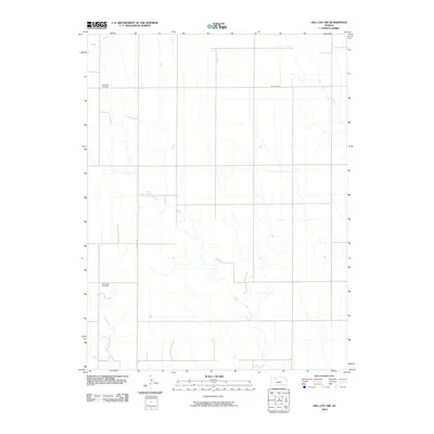
2010 Map of Hill City NW
USGS Topo · Published 2010About this map
South Star Cemetery and Rock Creek Cemetery serve as the primary historic landmarks in this rural section of Graham County. The terrain is defined by a dendritic network of seasonal waterways, including the winding paths of Bow Creek, Sand Creek, Rock Creek, and Coon Creek. These drainages cut through the high plains, dictating the placement of the section-line road grid that characterizes the region’s agricultural development.
Find a feature on this map
8 named features on this map. Tap any name to fly to it.
Don’t see what you’re looking for? This feature index may not catch every label — zoom into the map to look around manually.
Map Details
Editions of this 2010 Hill City NW Map
This is the sole edition of this map. No revisions or reprints were ever made.
Other maps of this area

1893 · Norton
USGS Topo · 1:125,000

1893 · Hill
USGS Topo · 1:125,000

1954 · Goodland
USGS Topo · 1:250,000

1955 · Beloit
USGS Topo · 1:250,000

1956 · Goodland
USGS Topo · 1:250,000

1957 · Goodland
USGS Topo · 1:250,000

1959 · Beloit
USGS Topo · 1:250,000

1978 · Lenora East
USGS Topo · 1:24,000

1978 · Lenora West
USGS Topo · 1:24,000

1978 · Edmond SE
USGS Topo · 1:24,000