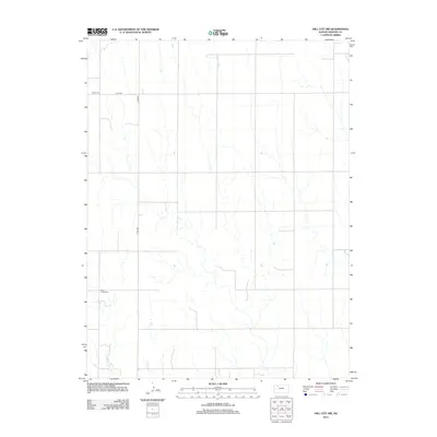
2012 Map of Hill City NW
USGS Topo · Published 2012About this map
Bow Cr and Rock Cr carve through the open agricultural plains of Graham County, defining the drainage patterns of this rural landscape. This portion of Northwest Kansas is characterized by a sparse, intentional network of section-line roads, notably Co Rd-380 and Co Rd-539, which provide the primary access to the scattered farms and fields. The area's heritage is preserved in quiet, remote locations like S Star Cem in the northwest and Rock Creek Cem further south. These landmarks serve as vital nodes for genealogical research and local history, representing the enduring foundations of the farming community that has long worked this ground.
Find a feature on this map
6 named features on this map. Tap any name to fly to it.
Don’t see what you’re looking for? This feature index may not catch every label — zoom into the map to look around manually.
Map Details
Editions of this 2012 Hill City NW Map
This is the sole edition of this map. No revisions or reprints were ever made.
Other maps of this area

1893 · Norton
USGS Topo · 1:125,000

1893 · Hill
USGS Topo · 1:125,000

1954 · Goodland
USGS Topo · 1:250,000

1955 · Beloit
USGS Topo · 1:250,000

1956 · Goodland
USGS Topo · 1:250,000

1957 · Goodland
USGS Topo · 1:250,000

1959 · Beloit
USGS Topo · 1:250,000

1978 · Lenora East
USGS Topo · 1:24,000

1978 · Lenora West
USGS Topo · 1:24,000

1978 · Edmond SE
USGS Topo · 1:24,000