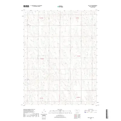
2018 Map of Hill City NW
USGS Topo · Published 2018About this map
Bow Cr and Rock Cr carve a series of drainages across this northern Graham County landscape, defining the topography of the High Plains. The area is organized by a precise grid of rural roads, including 190th Ave and Co Rd 380, which serve as the primary arteries for this agricultural region. Evidence of early settlement and community centers is preserved in the location of the South Star Cem in the northwest and Rock Creek Cem further south. This 2018 survey illustrates the enduring township and range system, showing how the land was partitioned into sections within t6s r24w and surrounding townships. The map reflects a modern rural landscape where traditional water sources and burial grounds remain significant landmarks for local history and genealogy.
Find a feature on this map
25 named features on this map. Tap any name to fly to it.
Don’t see what you’re looking for? This feature index may not catch every label — zoom into the map to look around manually.
Map Details
Editions of this 2018 Hill City NW Map
This is the sole edition of this map. No revisions or reprints were ever made.
Other maps of this area

1893 · Norton
USGS Topo · 1:125,000

1893 · Hill
USGS Topo · 1:125,000

1954 · Goodland
USGS Topo · 1:250,000

1955 · Beloit
USGS Topo · 1:250,000

1956 · Goodland
USGS Topo · 1:250,000

1957 · Goodland
USGS Topo · 1:250,000

1959 · Beloit
USGS Topo · 1:250,000

1978 · Lenora East
USGS Topo · 1:24,000

1978 · Lenora West
USGS Topo · 1:24,000

1978 · Edmond SE
USGS Topo · 1:24,000