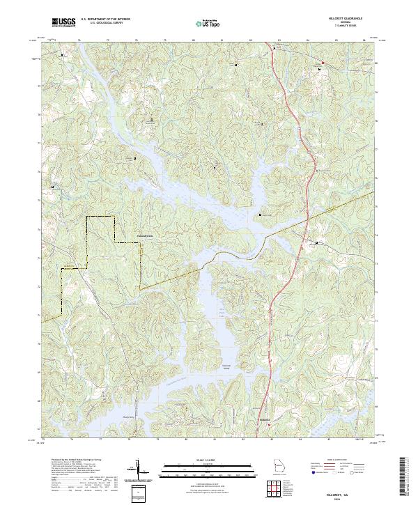
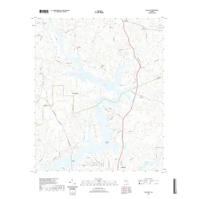
2024 Map of Hillcrest
USGS Topo · Published 2024About this map
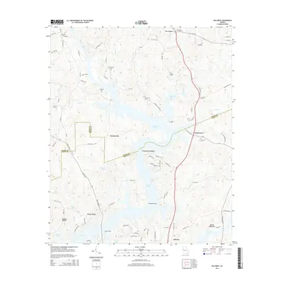
West Point Lake dominates the landscape of the Georgia-Alabama borderlands, where the Chattahoochee River flows south through the boundary of Heard and Troup counties. This modern topographic survey reveals a terrain defined by the inundation of river valleys, creating complex shorelines and prominent features like Swanson Island. The map is a significant resource for genealogists, as it meticulously identifies numerous small family and community burial grounds, including the Old Mount Olive Cem, Carser Chapel Cem, and Harris Cem. The settlement pattern centers around small communities such as Owensbyville and Hillcrest, while the legacy of earlier river crossings is preserved in the naming of Mooty Ferry and Philpot Ferry Road. Numerous tributaries like Potato Creek and New River feed the reservoir, illustrating the hydrological network that has shaped this region's development.
Find a feature on this map
85 named features on this map. Tap any name to fly to it.
Don’t see what you’re looking for? This feature index may not catch every label — zoom into the map to look around manually.
Map Details
Editions of this 2024 Hillcrest Map
This is the sole edition of this map. No revisions or reprints were ever made.
Historical Maps of Buena Vista Through Time
12 maps found
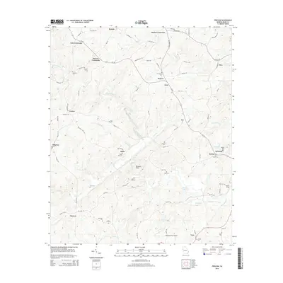
1964 Frolona
Heard County, GA
1964 Hillcrest
Heard County, GA

2011 Frolona
Heard County, GA
2011 Hillcrest
Heard County, GA
2014 Frolona
Heard County, GA
2014 Hillcrest
Heard County, GA
2017 Frolona
Heard County, GA
2017 Hillcrest
Heard County, GA
2020 Frolona
Heard County, GA
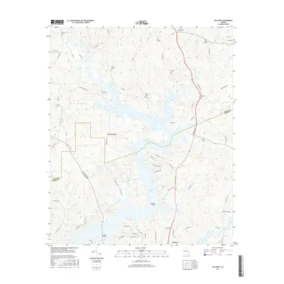
2020 Hillcrest
Heard County, GA
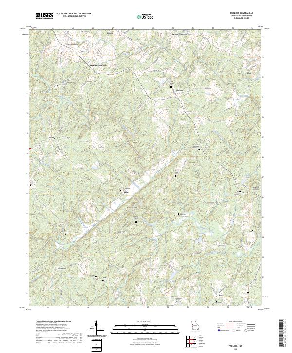
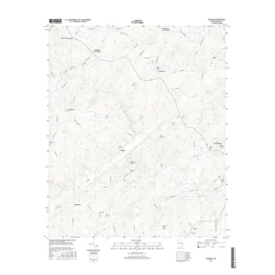
2024 Frolona
Heard County, GA
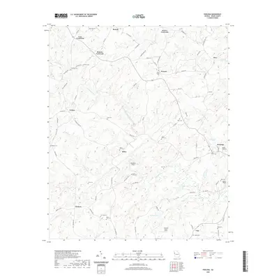
2024 Hillcrest
Heard County, GA