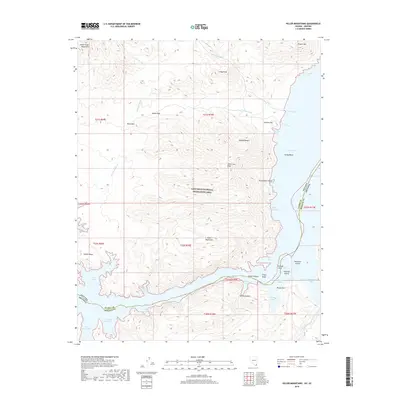
2018 Map of Hiller Mountains
USGS Topo · Published 2018About this map
The Hiller Mountains and South Virgin Mountains define this arid landscape within the Lake Mead National Recreation Area at the Nevada-Arizona border. The terrain is a complex network of high desert peaks and deep drainages like Scanlon Wash and Wild Burro Wash that feed into the eastern reaches of Lake Mead. The map details the intricate shoreline of the Gregg Basin, where prominent landmarks such as Temple Mesa and Gregg Peak rise above the water. Historical interest is centered on remote locations like Greggs Hideout and navigation points along the water including Virgin Canyon and Channel Reef. This survey captures the geomorphology of the Mojave Desert floor before it meets the inundated canyons of the Colorado River system, documenting the specific bathymetry and topography of features like Hualapai Island and Round Rock Point.
Find a feature on this map
49 named features on this map. Tap any name to fly to it.
Don’t see what you’re looking for? This feature index may not catch every label — zoom into the map to look around manually.
Map Details
Editions of this 2018 Hiller Mountains Map
This is the sole edition of this map. No revisions or reprints were ever made.
Other maps of this area

1886 · Camp Mohave
USGS Topo · 1:250,000

1886 · Saint Thomas
USGS Topo · 1:250,000

1892 · Camp Mohave
USGS Topo · 1:250,000

1893 · Saint Thomas
USGS Topo · 1:250,000

1926 · Bonelli
USGS Topo · 1:96,000

1942 · Camp Mohave
USGS Topo · 1:250,000

1947 · Kingman
USGS Topo · 1:250,000

1948 · Kingman
USGS Topo · 1:250,000

1953 · Iceberg Canyon
USGS Topo · 1:62,500

1953 · Virgin Basin
USGS Topo · 1:62,500