Loading...
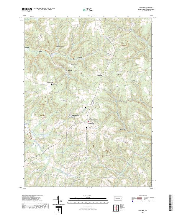
Loading map...2023 Map of Hilliards
USGS Topo · Published 2023About this map
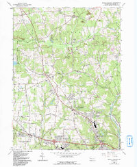
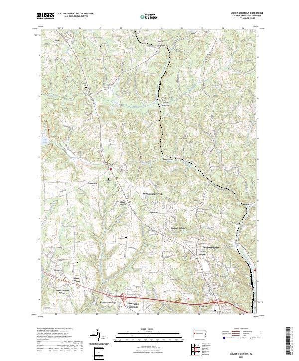
North Washington serves as a central hub in this Butler County landscape, situated at the junction where several local routes meet. The area is defined by a dense network of cemeteries and small settlements, including Argentine, Annisville, and Hilliards, which reflect the historic community clusters of northern Pennsylvania. The terrain is deeply carved by waterways such as Slippery Rock Creek and its southern branch, alongside Christy Run and Silver Creek.
Find a feature on this map
100 named features on this map. Tap any name to fly to it.
Don’t see what you’re looking for? This feature index may not catch every label — zoom into the map to look around manually.
Map Details
Date Portrayed2023
Date Published2023
PublisherU.S. Geological Survey
Map TypeTopographic
Scale1:24000
Physical Dimensions24 x 29 inches
Editions of this 2023 Hilliards Map
This is the sole edition of this map. No revisions or reprints were ever made.
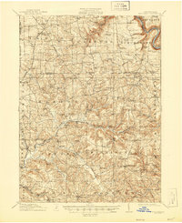
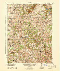
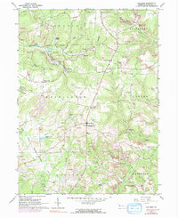
Historical Maps of Higgins Corner Through Time
7 maps found

Featured Locations
- Washington Township, PA
- Parker Township, PA
- Fairview Township, PA
- Concord Township, PA
- North Washington, Washington Township
Source Details
SourceU.S. Geological Survey
CopyrightPublic Domain