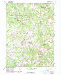
1963 Map of Hilliards
USGS Topo · Published 1991About this map
The Bessemer and Lake Erie Railroad cuts across the northern landscape of this Butler County region, serving the industrial backbone of a community defined by resource extraction. Extensive strip mining operations and numerous oil wells dot the terrain, particularly around the Oil Field in the south and the township boundaries of Washington and Parker. Small rural hubs like Argentine, Hilliards, and North Washington center the social life of the era, supported by landmarks such as St Paschals Ch and the North Washington Sch.
Find a feature on this map
37 named features on this map. Tap any name to fly to it.
Don’t see what you’re looking for? This feature index may not catch every label — zoom into the map to look around manually.
Map Details
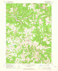
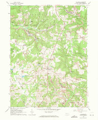
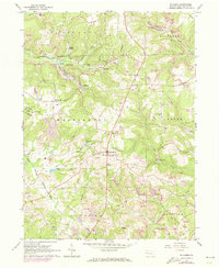
Editions of this 1963 Hilliards Map
4 editions found
Other maps of this area

1900 · Kittanning
USGS Topo · 1:62,500

1902 · Kittanning
USGS Topo · 1:62,500

1907 · Foxburg
USGS Topo · 1:62,500

1908 · Foxburg
USGS Topo · 1:62,500

1909 · Butler
USGS Topo · 1:62,500

1910 · Hilliards
USGS Topo · 1:62,500

1911 · Butler
USGS Topo · 1:62,500

1912 · Hilliards
USGS Topo · 1:62,500

1944 · Hilliards
USGS Topo · 1:62,500

1953 · Pittsburgh
USGS Topo · 1:250,000