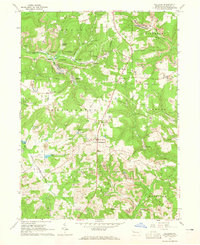
1963 Map of Hilliards
USGS Topo · Published 1965About this map
Slippery Rock Creek and its various branches, including the North Branch and South Branch, define the topography of this section of Butler County during the early 1960s. The landscape is heavily marked by the region's extraction industries, with extensive strip mines and oil wells scattered across the townships of Washington, Parker, and Concord. These industrial activities sit alongside established rural communities like Hilliards and North Washington. Local landmarks such as St Paschals Ch and the North Washington Sch provide essential points of interest for genealogists tracing family roots in these northern Pennsylvania settlements. The map also captures the extent of State Game Lands No 95 and the development of recreational water bodies like Harbar Acres Lake and Peaceful Valley Lake.
Find a feature on this map
36 named features on this map. Tap any name to fly to it.
Don’t see what you’re looking for? This feature index may not catch every label — zoom into the map to look around manually.
Map Details
Editions of this 1963 Hilliards Map
4 editions found
Other maps of this area

1900 · Kittanning
USGS Topo · 1:62,500

1902 · Kittanning
USGS Topo · 1:62,500

1907 · Foxburg
USGS Topo · 1:62,500

1908 · Foxburg
USGS Topo · 1:62,500

1909 · Butler
USGS Topo · 1:62,500

1910 · Hilliards
USGS Topo · 1:62,500

1911 · Butler
USGS Topo · 1:62,500

1912 · Hilliards
USGS Topo · 1:62,500

1944 · Hilliards
USGS Topo · 1:62,500

1953 · Pittsburgh
USGS Topo · 1:250,000