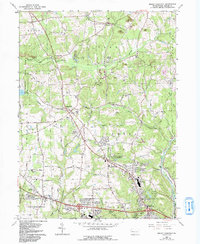
2023 Map of Mount Chestnut
USGS Topo · Published 2023About this map
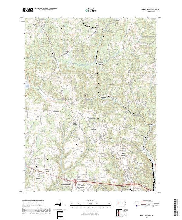
Chestnut Ridge runs through this portion of Butler County, marking a landscape defined by the winding waters of Muddy Creek and the eastern reaches of Lake Arthur within Moraine State Park. The map documents a complex network of residential developments and small settlements branching out from the city of Butler, including Shanor-Northvue, Timberly Heights, and Homeacre-Lyndora. These suburban clusters contrast with the older, more rural junctions like Queen Junction and Jamisonville to the north.
Find a feature on this map
136 named features on this map. Tap any name to fly to it.
Don’t see what you’re looking for? This feature index may not catch every label — zoom into the map to look around manually.
Map Details
Editions of this 2023 Mount Chestnut Map
This is the sole edition of this map. No revisions or reprints were ever made.
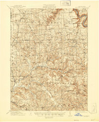
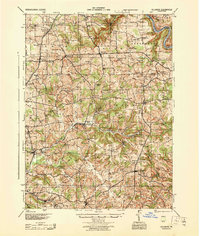
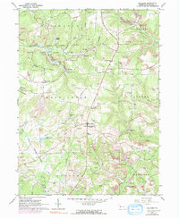
Historical Maps of Butler Through Time
7 maps found