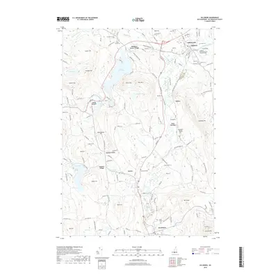
2018 Map of Hillsboro
USGS Topo · Published 2018About this map
The Contoocook River and North Branch River systems define the industrial and settlement patterns of this Hillsborough County region. Along these waterways, historic crossings like the Great Bridge and the Hillsboro-Deering Railroad Covered Bridge connect the primary population centers of Hillsborough and Bennington. The landscape is characterized by clustered villages and numerous family cemeteries, including the Maplewood Cem near Antrim and Saint Marys Cem to the north.
Find a feature on this map
153 named features on this map. Tap any name to fly to it.
Don’t see what you’re looking for? This feature index may not catch every label — zoom into the map to look around manually.
Map Details
Editions of this 2018 Hillsboro Map
This is the sole edition of this map. No revisions or reprints were ever made.
Other maps of this area
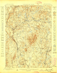
1898 · Monadnock
USGS Topo · 1:62,500
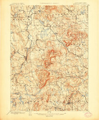
1900 · Peterboro
USGS Topo · 1:62,500
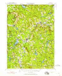
1926 · Hillsboro
USGS Topo · 1:62,500
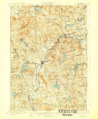
1929 · Hillsboro
USGS Topo · 1:62,500
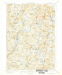
1930 · Lovewell Mountain
USGS Topo · 1:62,500

1936 · Monadnock
USGS Topo · 1:62,500
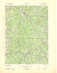
1942 · Keene
USGS Topo · 1:125,000
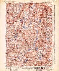
1942 · Lovewell Mountain
USGS Topo · 1:62,500
1943 · Fitchburg
USGS Topo · 1:125,000
1948 · Boston
USGS Topo · 1:250,000