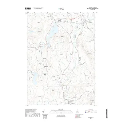
2021 Map of Hillsboro
USGS Topo · Published 2021About this map
Antrim and Bennington anchor the southern reaches of this landscape, where the Contoocook River winds northward toward Hillsboro. The area is defined by its network of early turnpikes and river crossings, most notably the Hillsboro-Deering Railroad Covered Bridge and the Great Bridge near the town center. Between the heights of Crotched Mtn and Gibson Mtn, small communities like Clinton Village, Antrim Center, and Hillsboro Lower Village reflect the 19th-century settlement patterns of Hillsborough County. The geography is punctuated by significant water bodies, including Franklin Pierce Lake and Gregg Lake, which historically supported local industry and recreation. Genealogists will find numerous burial grounds documented, from Maplewood Cem to the smaller Butler Cem and Preston Cem. Modern infrastructure like the Hawthorne-Feather Airpark sits alongside historic routes such as the 2nd New Hampshire Tpke, illustrating the layered transport history of the region.
Find a feature on this map
147 named features on this map. Tap any name to fly to it.
Don’t see what you’re looking for? This feature index may not catch every label — zoom into the map to look around manually.
Map Details
Editions of this 2021 Hillsboro Map
This is the sole edition of this map. No revisions or reprints were ever made.
Other maps of this area

1898 · Monadnock
USGS Topo · 1:62,500

1900 · Peterboro
USGS Topo · 1:62,500

1926 · Hillsboro
USGS Topo · 1:62,500

1929 · Hillsboro
USGS Topo · 1:62,500

1930 · Lovewell Mountain
USGS Topo · 1:62,500

1936 · Monadnock
USGS Topo · 1:62,500

1942 · Keene
USGS Topo · 1:125,000

1942 · Lovewell Mountain
USGS Topo · 1:62,500

1943 · Fitchburg
USGS Topo · 1:125,000

1948 · Boston
USGS Topo · 1:250,000