2024 Map of Hillsboro
USGS Topo · Published 2024About this map
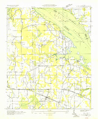
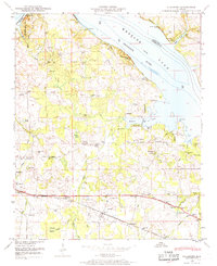
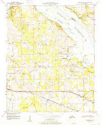
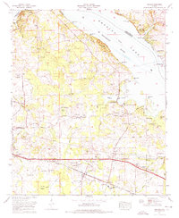
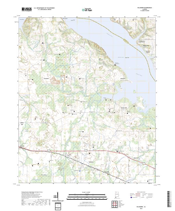
Wheeler Lake and the Tennessee River dominate the northern landscape of this Lawrence County quadrangle, where the river's path is marked by prominent features like Melton Bluff and Egypt Bluff. The region's agricultural and social history is deeply embedded in the land, evidenced by an exceptionally high density of family-named burial sites including Ralph Andrew Terry Cem, Shackelford Cem, and Watkins Watt Cem. Settlements such as Hillsboro, Wheeler, and Jerusalem are connected by a network of rural roads like Browns Ferry Rd, reflecting a long-standing settlement pattern. To the south, the terrain softens into the Swoope Bottom near Swoope Branch, while the northern banks transition from the Upper Bar to residential pockets at Poplar Point and Paradise Shores, illustrating the varied use of the riverfront in the modern era.
Find a feature on this map
122 named features on this map. Tap any name to fly to it.
Don’t see what you’re looking for? This feature index may not catch every label — zoom into the map to look around manually.
Map Details
Editions of this 2024 Hillsboro Map
This is the sole edition of this map. No revisions or reprints were ever made.
Historical Maps of Flower Hill Through Time
5 maps found