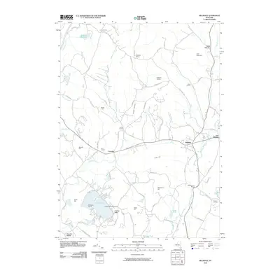
2010 Map of Hillsdale
USGS Topo · Published 2010About this map
Hillsdale and North Hillsdale serve as the primary anchors of this Columbia County landscape, where the winding path of the Roeliff Jansen Kill dictates the local topography. This 2010 survey illustrates a rural community defined by its water and high ground, from the recreational waters of Copake Lake to the elevations of Lyon Mountain and Scutt Hill. A notable point of transportation history is the Copake Lake Seaplane Base, while the presence of the Black Grocery Bridge suggests a storied past for the river crossings in the area.
Find a feature on this map
80 named features on this map. Tap any name to fly to it.
Don’t see what you’re looking for? This feature index may not catch every label — zoom into the map to look around manually.
Map Details
Editions of this 2010 Hillsdale Map
This is the sole edition of this map. No revisions or reprints were ever made.
Other maps of this area

1885 · Sheffield
USGS Topo · 1:62,500

1888 · Sheffield
USGS Topo · 1:62,500

1888 · Pittsfield
USGS Topo · 1:62,500

1890 · Pittsfield
USGS Topo · 1:62,500

1891 · Sheffield
USGS Topo · 1:62,500

1893 · Sheffield
USGS Topo · 1:62,500

1893 · Pittsfield
USGS Topo · 1:62,500

1894 · Pittsfield
USGS Topo · 1:62,500

1897 · Pittsfield
USGS Topo · 1:62,500

1897 · Sheffield
USGS Topo · 1:62,500