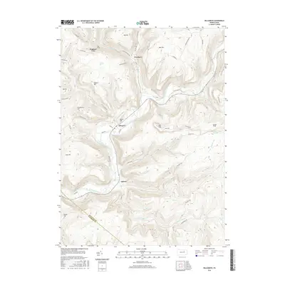
2016 Map of Hillsgrove
USGS Topo · Published 2016About this map
Loyalsock Creek carves a deep valley through the high plateaus of Sullivan County, defining the settlement patterns of this mountain landscape. The community of Hillsgrove sits at the confluence of the creek and Slab Run, while the smaller settlement of Ogdonia is located to the south near the mouth of Kettle Cr. These villages were historically tied to the timber and tanning industries, evidenced by the numerous named runs and branches that drain the surrounding heights.
Find a feature on this map
64 named features on this map. Tap any name to fly to it.
Don’t see what you’re looking for? This feature index may not catch every label — zoom into the map to look around manually.
Map Details
Editions of this 2016 Hillsgrove Map
This is the sole edition of this map. No revisions or reprints were ever made.
Other maps of this area

1927 · Eagles Mere
USGS Topo · 1:48,000

1930 · Warrensville
USGS Topo · 1:62,500

1932 · Eagle Mere
USGS Topo · 1:62,500

1934 · Warrensville
USGS Topo · 1:62,500

1942 · Canton
USGS Topo · 1:62,500

1943 · Powell
USGS Topo · 1:62,500

1944 · Canton
USGS Topo · 1:62,500

1945 · Powell
USGS Topo · 1:62,500

1953 · Warrensville
USGS Topo · 1:62,500

1953 · Eagles Mere
USGS Topo · 1:62,500
Featured Places
- Hillsgrove Township, PA
- Elkland Township, PA
- Plunkett, Hillsgrove Township
- Fox Township, PA
- Plunketts Creek Township, PA