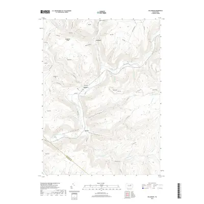
2019 Map of Hillsgrove
USGS Topo · Published 2019About this map
Hillsgrove sits at a narrow river bend where several mountain runs meet the Loyalsock Creek, serving as the primary settlement in this deeply carved portion of the Endless Mountains. The landscape is defined by the steep elevation changes of the Loyalsock Creek Gorge and Kettle Creek Gorge, where small tributaries like Falls Run create features such as Angel Falls and Dry Run Falls. Local naming conventions reflect a mix of early family settlers and descriptive terrain, seen in places like Wissingers, Ogdonia, and Gooseberry Hill.
Find a feature on this map
70 named features on this map. Tap any name to fly to it.
Don’t see what you’re looking for? This feature index may not catch every label — zoom into the map to look around manually.
Map Details
Editions of this 2019 Hillsgrove Map
This is the sole edition of this map. No revisions or reprints were ever made.
Other maps of this area

1927 · Eagles Mere
USGS Topo · 1:48,000

1930 · Warrensville
USGS Topo · 1:62,500

1932 · Eagle Mere
USGS Topo · 1:62,500

1934 · Warrensville
USGS Topo · 1:62,500

1942 · Canton
USGS Topo · 1:62,500

1943 · Powell
USGS Topo · 1:62,500

1944 · Canton
USGS Topo · 1:62,500

1945 · Powell
USGS Topo · 1:62,500

1953 · Warrensville
USGS Topo · 1:62,500

1953 · Eagles Mere
USGS Topo · 1:62,500
Featured Places
- Hillsgrove Township, PA
- Elkland Township, PA
- Plunkett, Hillsgrove Township
- Fox Township, PA
- Plunketts Creek Township, PA