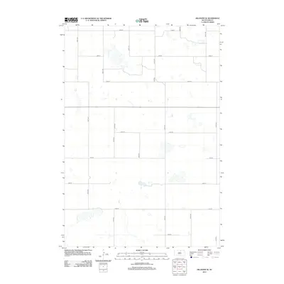
2012 Map of Hillsview SE
USGS Topo · Published 2012About this map
Glacial prairie potholes and seasonal wetlands define the geography of this McPherson County landscape. The area is organized by a precise grid of county roads and section lines, with Co Hwy 5 serving as a primary north-south corridor. These routes, including 122nd St at the northern boundary and 130th St to the south, provide access to the numerous small water bodies and marshy depressions characteristic of the Missouri Coteau region. The map reveals the spatial distribution of these intermittent ponds across the agricultural sections, bounded by rural thoroughfares like 328th Ave and 334th Ave. This layout illustrates the persistence of the Public Land Survey System in shaping the modern infrastructure of South Dakota's rural farming and grazing lands.
Find a feature on this map
15 named features on this map. Tap any name to fly to it.
Don’t see what you’re looking for? This feature index may not catch every label — zoom into the map to look around manually.
Map Details
Editions of this 2012 Hillsview SE Map
This is the sole edition of this map. No revisions or reprints were ever made.
Other maps of this area

1954 · Aberdeen
USGS Topo · 1:250,000

1956 · Aberdeen
USGS Topo · 1:250,000

1974 · Gretna
USGS Topo · 1:24,000

1974 · Bowdle
USGS Topo · 1:24,000

1978 · Hillsview SE
USGS Topo · 1:24,000

1978 · Roscoe NW
USGS Topo · 1:24,000

1978 · Hosmer NW
USGS Topo · 1:24,000

1978 · Bowdle-Hosmer Lake
USGS Topo · 1:24,000

1978 · Feinstein Lake
USGS Topo · 1:24,000

1978 · Hosmer
USGS Topo · 1:24,000