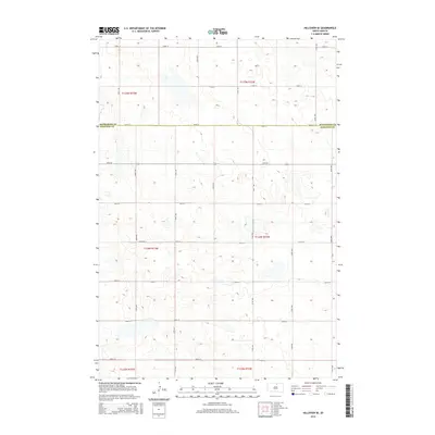
2015 Map of Hillsview SE
USGS Topo · Published 2015About this map
McPherson Co and Edmunds Co meet along a straight east-west boundary defined by 124th St in this 2015 survey of the South Dakota prairie. The landscape is characterized by a dense network of sectional roads and glacial depressions, creating a mosaic of small seasonal wetlands and depressions across the township. Transport throughout this rural corridor is facilitated by a regular grid of avenues and streets, including north-south routes like 330th Ave and 334th Ave. This layout reflects the systematic Public Land Survey System that partitioned the Great Plains, with specific township and range identifiers like t124n r73w and t125n r72w marking the cadastral organization of the region. The map provides a clear look at the modern rural infrastructure and land management patterns where these two counties converge.
Find a feature on this map
22 named features on this map. Tap any name to fly to it.
Don’t see what you’re looking for? This feature index may not catch every label — zoom into the map to look around manually.
Map Details
Editions of this 2015 Hillsview SE Map
This is the sole edition of this map. No revisions or reprints were ever made.
Other maps of this area

1954 · Aberdeen
USGS Topo · 1:250,000

1956 · Aberdeen
USGS Topo · 1:250,000

1974 · Gretna
USGS Topo · 1:24,000

1974 · Bowdle
USGS Topo · 1:24,000

1978 · Hillsview SE
USGS Topo · 1:24,000

1978 · Roscoe NW
USGS Topo · 1:24,000

1978 · Hosmer NW
USGS Topo · 1:24,000

1978 · Bowdle-Hosmer Lake
USGS Topo · 1:24,000

1978 · Feinstein Lake
USGS Topo · 1:24,000

1978 · Hosmer
USGS Topo · 1:24,000