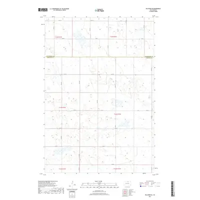
2017 Map of Hillsview SE
USGS Topo · Published 2017About this map
Mcpherson Co Edmunds Co defines the central axis of this landscape, marking the political boundary between two rural South Dakota counties. The terrain is characterized by a high density of small wetlands and prairie potholes typical of the glaciated plains, which dictate the winding paths of section roads. A rigid grid of transportation routes, including Co Hwy 16 and Co Rd 3, provides the primary structure for the agricultural homesteads scattered throughout the townships. Historically significant for its Public Land Survey System (PLSS) layout, the map illustrates the intersections of t125n r73w and t124n r72w, where rural life is organized by mile-square sections. The absence of concentrated town centers highlights the purely agrarian character of the region during this period.
Find a feature on this map
24 named features on this map. Tap any name to fly to it.
Don’t see what you’re looking for? This feature index may not catch every label — zoom into the map to look around manually.
Map Details
Editions of this 2017 Hillsview SE Map
This is the sole edition of this map. No revisions or reprints were ever made.
Other maps of this area

1954 · Aberdeen
USGS Topo · 1:250,000

1956 · Aberdeen
USGS Topo · 1:250,000

1974 · Gretna
USGS Topo · 1:24,000

1974 · Bowdle
USGS Topo · 1:24,000

1978 · Hillsview SE
USGS Topo · 1:24,000

1978 · Roscoe NW
USGS Topo · 1:24,000

1978 · Hosmer NW
USGS Topo · 1:24,000

1978 · Bowdle-Hosmer Lake
USGS Topo · 1:24,000

1978 · Feinstein Lake
USGS Topo · 1:24,000

1978 · Hosmer
USGS Topo · 1:24,000