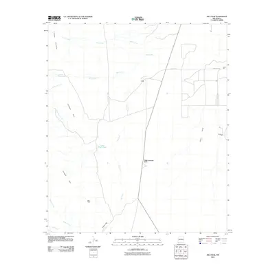
2010 Map of Hilo Peak
USGS Topo · Published 2010About this map
High Lonesome Wells and isolated water sources define the survival infrastructure of this high-desert landscape in the southwestern corner of New Mexico. In the early 21st century, the area remains dominated by ranching and traditional land use, anchored by Lards Ranch and a network of namesake wells such as Mcdauw's Well and Lookout Well. The terrain shifts from the eastern floor of the Playas Valley toward the uplift of the Animas Mountains, where notable elevations like Hilo Peak rise above the drainage systems of Deer Creek and Smuggler Creek.
Find a feature on this map
17 named features on this map. Tap any name to fly to it.
Don’t see what you’re looking for? This feature index may not catch every label — zoom into the map to look around manually.
Map Details
Editions of this 2010 Hilo Peak Map
This is the sole edition of this map. No revisions or reprints were ever made.
Other maps of this area

1917 · Antelope Wells
USGS Topo · 1:62,500

1918 · Big Hatchet Peak
USGS Topo · 1:62,500

1918 · Dog Mountains
USGS Topo · 1:62,500

1918 · Walnut Wells
USGS Topo · 1:62,500

1919 · Antelope Wells
USGS Topo · 1:62,500

1923 · Walnut Wells
USGS Topo · 1:62,500

1955 · Douglas
USGS Topo · 1:250,000

1959 · Douglas
USGS Topo · 1:250,000

1961 · Douglas
USGS Topo · 1:250,000

1964 · Douglas
USGS Topo · 1:250,000