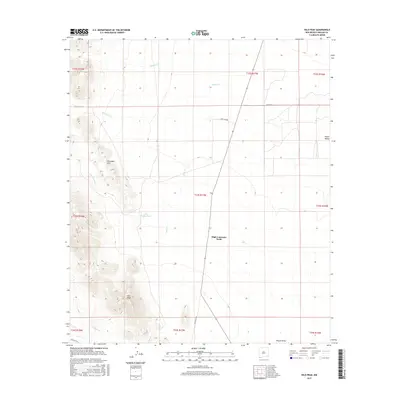
2017 Map of Hilo Peak
USGS Topo · Published 2017About this map
High Lonesome Wells stands as a focal point in this arid stretch of the Playas Valley, where the land is defined by drainage patterns and cattle-country infrastructure. The terrain transitions from the low-lying valley floor to the prominent heights of Hilo Peak and the Chinaman Hills in the west. This 2017 survey reflects a landscape of remote resource management, dominated by ephemeral watercourses such as Walnut Cr, Brushy Cr, and Deer Cr that feed toward the valley center. Sparse human traces appear as rural road networks like Lard Camp Rd and the significant San Luis Pass, illustrating how geography dictates travel through this portion of Hidalgo County. The inclusion of Little Brushy Tank highlights the critical importance of water storage in this high-desert environment, where seasonal creeks and wells are the primary markers of utility.
Find a feature on this map
22 named features on this map. Tap any name to fly to it.
Don’t see what you’re looking for? This feature index may not catch every label — zoom into the map to look around manually.
Map Details
Editions of this 2017 Hilo Peak Map
This is the sole edition of this map. No revisions or reprints were ever made.
Other maps of this area

1917 · Antelope Wells
USGS Topo · 1:62,500

1918 · Big Hatchet Peak
USGS Topo · 1:62,500

1918 · Dog Mountains
USGS Topo · 1:62,500

1918 · Walnut Wells
USGS Topo · 1:62,500

1919 · Antelope Wells
USGS Topo · 1:62,500

1923 · Walnut Wells
USGS Topo · 1:62,500

1955 · Douglas
USGS Topo · 1:250,000

1959 · Douglas
USGS Topo · 1:250,000

1961 · Douglas
USGS Topo · 1:250,000

1964 · Douglas
USGS Topo · 1:250,000