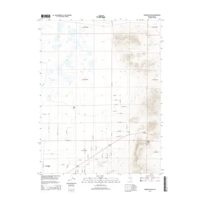
2014 Map of Hinkson Slough
USGS Topo · Published 2014About this map
Mason Valley serves as a stark geographic divide between the marshy lowlands and the rising peaks of the Wassuk Range in this modern survey. The western half of the map is defined by complex water management and natural wetlands, including the braided channels of Joggles Slough and Hinkson Slough. Human intervention in the landscape is evident through the Merritt Ditch and a dense grid of rural lanes like Pete Henrichs Rd and Rifle Range Rd that support the agricultural parcels north of Yerington. The map captures a moment in the 21st century where the high desert terrain and the managed hydrology of the valley floor intersect, showing the transition from the structured street network of the town’s outskirts to the unpopulated, high-elevation slopes of the eastern mountains.
Find a feature on this map
52 named features on this map. Tap any name to fly to it.
Don’t see what you’re looking for? This feature index may not catch every label — zoom into the map to look around manually.
Map Details
Editions of this 2014 Hinkson Slough Map
This is the sole edition of this map. No revisions or reprints were ever made.
Other maps of this area

1891 · Wabuska
USGS Topo · 1:125,000

1891 · Wellington
USGS Topo · 1:125,000

1893 · Wellington
USGS Topo · 1:125,000

1894 · Wabuska
USGS Topo · 1:125,000

1908 · Carson Sink
USGS Topo · 1:250,000

1909 · Hawthorne
USGS Topo · 1:250,000

1910 · Carson Sink
USGS Topo · 1:250,000

1911 · Hawthorne
USGS Topo · 1:250,000

1915 · Hawthorne
USGS Topo · 1:250,000

1948 · Walker Lake
USGS Topo · 1:250,000