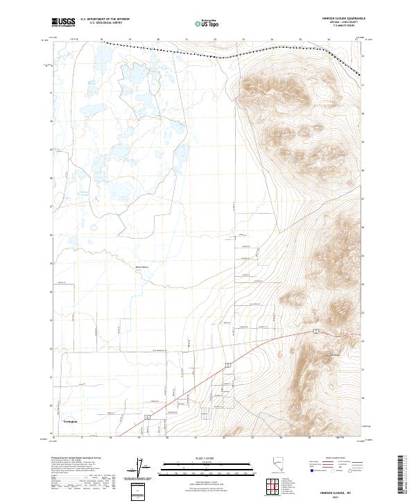
2021 Map of Hinkson Slough
USGS Topo · Published 2021About this map
The northern edge of Yerington anchors this high-desert landscape where the fertile soils of Mason Valley meet the rising elevations of the Wassuk Range. Water management is central to the area's layout, defined by the winding paths of Joggles Slough and Hinkson Slough. These waterways cut through a transition zone of wetlands and low-lying ground that contrasts sharply with the nearby mountain slopes.
Find a feature on this map
51 named features on this map. Tap any name to fly to it.
Don’t see what you’re looking for? This feature index may not catch every label — zoom into the map to look around manually.
Map Details
Editions of this 2021 Hinkson Slough Map
This is the sole edition of this map. No revisions or reprints were ever made.
Other maps of this area

1891 · Wabuska
USGS Topo · 1:125,000

1891 · Wellington
USGS Topo · 1:125,000

1893 · Wellington
USGS Topo · 1:125,000

1894 · Wabuska
USGS Topo · 1:125,000

1908 · Carson Sink
USGS Topo · 1:250,000

1909 · Hawthorne
USGS Topo · 1:250,000

1910 · Carson Sink
USGS Topo · 1:250,000

1911 · Hawthorne
USGS Topo · 1:250,000

1915 · Hawthorne
USGS Topo · 1:250,000

1948 · Walker Lake
USGS Topo · 1:250,000