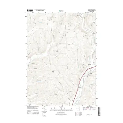
2016 Map of Hinsdale
USGS Topo · Published 2016About this map
Hinsdale and its surrounding hollows are defined by the convergence of several major valley corridors in eastern Cattaraugus County. The township is located at a significant hydrological junction where Ischua Creek and Oil Creek meet to form Olean Creek. This drainage pattern established the primary routes for development, seen in the clustering of settlements like Maplehurst and Fay Hollow along these natural pathways. To the north, Ischua sits near the head of the valley, while the western uplands are marked by numerous named hollows including Morgan Hollow, McClure Hollow, and Smith Hollow. The landscape is dotted with several rural burial grounds such as Maple Grove Cem and Pleasant Valley Cem, providing key points of interest for genealogists tracking early families. In the northeast corner, the Cattaraugus County-Olean Airport represents a more modern addition to this largely traditional agricultural and valley landscape.
Find a feature on this map
83 named features on this map. Tap any name to fly to it.
Don’t see what you’re looking for? This feature index may not catch every label — zoom into the map to look around manually.
Map Details
Editions of this 2016 Hinsdale Map
This is the sole edition of this map. No revisions or reprints were ever made.
Other maps of this area

1898 · Olean
USGS Topo · 1:62,500

1900 · Salamanca
USGS Topo · 1:62,500

1924 · Ellicottville
USGS Topo · 1:62,500

1924 · Franklinville
USGS Topo · 1:62,500

1938 · Salamanca
USGS Topo · 1:62,500

1938 · Olean
USGS Topo · 1:62,500

1941 · Ellicottville
USGS Topo · 1:62,500

1942 · Franklinville
USGS Topo · 1:62,500

1943 · Olean
USGS Topo · 1:62,500

1943 · Salamanca
USGS Topo · 1:62,500