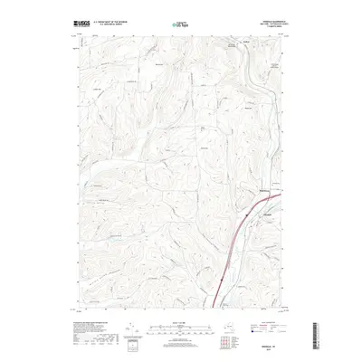
2019 Map of Hinsdale
USGS Topo · Published 2019About this map
Ischua Creek and Oil Creek converge to form Olean Creek in this part of Cattaraugus County, shaping the settlement patterns of the villages that line their banks. The town of Hinsdale and the adjacent community of Maplehurst occupy the valley floor at this confluence, where the road and rail corridors follow the natural water routes. To the north, the smaller settlement of Ischua sits near the Baxter Mill Road Bridge, surrounded by the rising elevations of Maple Hill and Dutch Hill. This modern survey reveals how contemporary infrastructure, including the Cattaraugus County-Olean Airport, integrates with the traditional landscape of named hollows and family cemeteries. Genealogists can locate several burial sites throughout the terrain, from the Hinsdale Cem near the town center to the Maple Hill Cem and Pleasant Valley Cem tucked into the upland ridges.
Find a feature on this map
78 named features on this map. Tap any name to fly to it.
Don’t see what you’re looking for? This feature index may not catch every label — zoom into the map to look around manually.
Map Details
Editions of this 2019 Hinsdale Map
This is the sole edition of this map. No revisions or reprints were ever made.
Other maps of this area

1898 · Olean
USGS Topo · 1:62,500

1900 · Salamanca
USGS Topo · 1:62,500

1924 · Ellicottville
USGS Topo · 1:62,500

1924 · Franklinville
USGS Topo · 1:62,500

1938 · Salamanca
USGS Topo · 1:62,500

1938 · Olean
USGS Topo · 1:62,500

1941 · Ellicottville
USGS Topo · 1:62,500

1942 · Franklinville
USGS Topo · 1:62,500

1943 · Olean
USGS Topo · 1:62,500

1943 · Salamanca
USGS Topo · 1:62,500