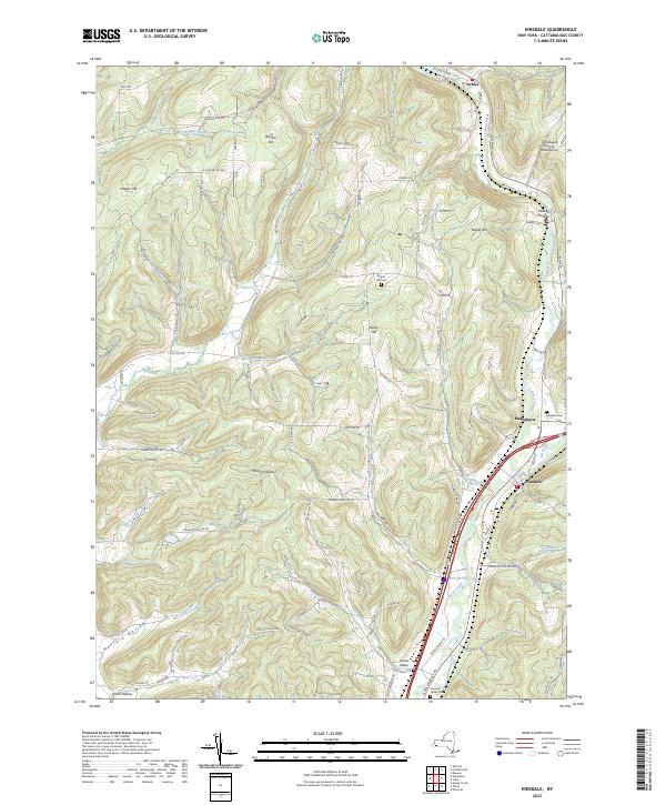
2023 Map of Hinsdale
USGS Topo · Published 2023About this map
Ischua Creek and Olean Creek carve deep valleys through the high country of Cattaraugus County, shaping the settlement patterns of this western New York landscape. This modern survey shows the confluence of waterways and travel corridors near Hinsdale and Maplehurst, where the valley floor widens to accommodate both the winding creek beds and major transit routes like Pennsylvania Rd. The geography is defined by a series of high ridges and hollows, including Bozard Hill and Morgan Hollow, which hem in the small hamlets and farmsteads.
Find a feature on this map
85 named features on this map. Tap any name to fly to it.
Don’t see what you’re looking for? This feature index may not catch every label — zoom into the map to look around manually.
Map Details
Editions of this 2023 Hinsdale Map
This is the sole edition of this map. No revisions or reprints were ever made.
Other maps of this area

1898 · Olean
USGS Topo · 1:62,500

1900 · Salamanca
USGS Topo · 1:62,500

1924 · Ellicottville
USGS Topo · 1:62,500

1924 · Franklinville
USGS Topo · 1:62,500

1938 · Salamanca
USGS Topo · 1:62,500

1938 · Olean
USGS Topo · 1:62,500

1941 · Ellicottville
USGS Topo · 1:62,500

1942 · Franklinville
USGS Topo · 1:62,500

1943 · Olean
USGS Topo · 1:62,500

1943 · Salamanca
USGS Topo · 1:62,500