
1961 Map of Hoagland
USGS Topo · Published 1963About this map
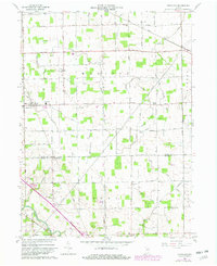
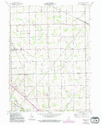
Hoagland serves as the central hub of this rural landscape, situated along the Pennsylvania railroad line. The map reveals an intensive network of drainage systems like Lepper Ditch and numerous unnamed ditches that defined the agricultural productivity of Madison, Monroe, and Root townships. This 1961 field check captures the area just as modern school consolidations were reflected on the landscape, noting both the Consolidated Sch and traditional parish institutions like St Johns Sch and St Peters Sch.
Find a feature on this map
44 named features on this map. Tap any name to fly to it.
Don’t see what you’re looking for? This feature index may not catch every label — zoom into the map to look around manually.
Map Details
Editions of this 1961 Hoagland Map
Other maps of this area

1953 · Fort Wayne
USGS Topo · 1:250,000

1953 · Muncie
USGS Topo · 1:250,000

1956 · Muncie
USGS Topo · 1:250,000

1956 · Fort Wayne
USGS Topo · 1:250,000

1956 · Fort Wayne East
USGS Topo · 1:24,000

1957 · Maples
USGS Topo · 1:24,000

1958 · Woodburn South
USGS Topo · 1:24,000

1960 · Dixon
USGS Topo · 1:24,000
1960 · Wren
USGS Topo · 1:24,000

1962 · Poe
USGS Topo · 1:24,000