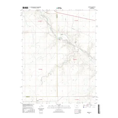
2016 Map of Hobson
USGS Topo · Published 2016About this map
The Arkansas River corridor defines this portion of the Fremont and Pueblo county line, where complex water management infrastructure supports the high desert landscape. The Minnequa Canal and Hobson Ditch demonstrate the historical reliance on diverted water to sustain the small settlements of Hobson and Siloam. These communities are situated among a network of drainage systems, including Beaver Cr and Willow Spring Cr, which feed into the primary river valley.
Find a feature on this map
26 named features on this map. Tap any name to fly to it.
Don’t see what you’re looking for? This feature index may not catch every label — zoom into the map to look around manually.
Map Details
Editions of this 2016 Hobson Map
This is the sole edition of this map. No revisions or reprints were ever made.
Other maps of this area

1889 · Canon City
USGS Topo · 1:125,000

1891 · Pueblo
USGS Topo · 1:125,000

1892 · Canon City
USGS Topo · 1:125,000

1894 · Pueblo
USGS Topo · 1:125,000

1896 · Pueblo
USGS Topo · 1:125,000

1897 · Pueblo
USGS Topo · 1:125,000

1954 · Pueblo
USGS Topo · 1:250,000

1957 · Pueblo
USGS Topo · 1:250,000

1958 · Pueblo
USGS Topo · 1:250,000

1959 · Florence
USGS Topo · 1:24,000