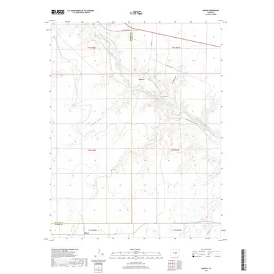
2019 Map of Hobson
USGS Topo · Published 2019About this map
The Arkansas River carves through the landscape of the Colorado high plains, anchoring a network of vital irrigation infrastructure like the Hobson Ditch and the Minnequa Canal. The small settlements of Hobson and Siloam mark the primary points of human residence within this rural expanse, which straddles the boundary between Fremont and Pueblo counties. The topography is defined by intricate drainage patterns, where seasonal waters flow through Richie Gulch and Fred Rohr Gulch toward the central river valley.
Find a feature on this map
28 named features on this map. Tap any name to fly to it.
Don’t see what you’re looking for? This feature index may not catch every label — zoom into the map to look around manually.
Map Details
Editions of this 2019 Hobson Map
This is the sole edition of this map. No revisions or reprints were ever made.
Other maps of this area

1889 · Canon City
USGS Topo · 1:125,000

1891 · Pueblo
USGS Topo · 1:125,000

1892 · Canon City
USGS Topo · 1:125,000

1894 · Pueblo
USGS Topo · 1:125,000

1896 · Pueblo
USGS Topo · 1:125,000

1897 · Pueblo
USGS Topo · 1:125,000

1954 · Pueblo
USGS Topo · 1:250,000

1957 · Pueblo
USGS Topo · 1:250,000

1958 · Pueblo
USGS Topo · 1:250,000

1959 · Florence
USGS Topo · 1:24,000