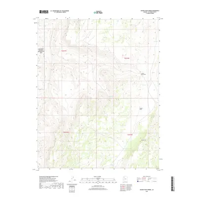
2018 Map of Hockey Puck Spring
USGS Topo · Published 2018About this map
Hockey Puck Spring serves as a vital water source in this arid Coconino County landscape, where the high desert terrain is defined by dramatic elevation changes and essential catchment features. The western edge of the map encompasses a portion of the Lake Mead National Recreation Area, transitioning into the deep relief of Granite Park Canyon. To the southeast, the massive escarpment of the Aubrey Cliffs overlooks Prospect Valley, illustrating the classic basin-and-range geology of northern Arizona.
Find a feature on this map
15 named features on this map. Tap any name to fly to it.
Don’t see what you’re looking for? This feature index may not catch every label — zoom into the map to look around manually.
Map Details
Editions of this 2018 Hockey Puck Spring Map
This is the sole edition of this map. No revisions or reprints were ever made.
Other maps of this area

1886 · Diamond Creek
USGS Topo · 1:250,000

1886 · Mt. Trumbull
USGS Topo · 1:250,000

1892 · Diamond Creek
USGS Topo · 1:250,000

1892 · Mt. Trumbull
USGS Topo · 1:250,000

1948 · Williams
USGS Topo · 1:250,000

1953 · Grand Canyon
USGS Topo · 1:250,000

1954 · Williams
USGS Topo · 1:250,000

1956 · Williams
USGS Topo · 1:250,000

1957 · Grand Canyon
USGS Topo · 1:250,000

1958 · Grand Canyon
USGS Topo · 1:250,000