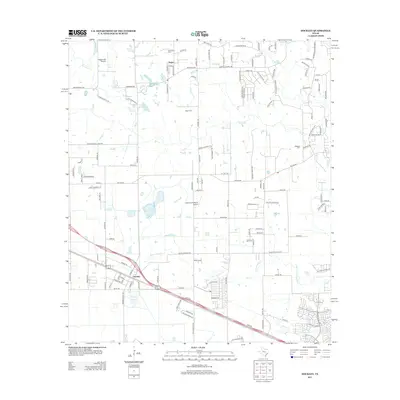
2013 Map of Hockley
USGS Topo · Published 2013About this map
Hockley serves as a central hub on this 2013 survey of Harris County, where the landscape transitions from established settlement patterns to rural aviation and ranching. The area is defined by its significant water features, including Little Cypress Cr and Spring Cr, which drain a territory dotted with private airfields like Biggin Hill Airport and Diamond N Ranch Airport. For those tracing local families, the map provides exact locations for several historic burial grounds, including Macedonia Cem, Hegar Cem, and Roberts Cem.
Find a feature on this map
130 named features on this map. Tap any name to fly to it.
Don’t see what you’re looking for? This feature index may not catch every label — zoom into the map to look around manually.
Map Details
Editions of this 2013 Hockley Map
This is the sole edition of this map. No revisions or reprints were ever made.
Other maps of this area

1915 · Cypress
USGS Topo · 1:24,000

1916 · Rose Hill
USGS Topo · 1:24,000

1916 · Hockley
USGS Topo · 1:24,000

1916 · Swanson
USGS Topo · 1:24,000

1918 · Cypress
USGS Topo · 1:31,680

1919 · Swanson
USGS Topo · 1:31,680

1920 · Hockley
USGS Topo · 1:31,680

1920 · Rose Hill
USGS Topo · 1:31,680

1920 · Waller
USGS Topo · 1:31,680

1950 · Houston
USGS Topo · 1:250,000