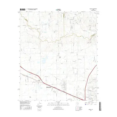
2016 Map of Hockley
USGS Topo · Published 2016About this map
Hockley anchors this 2016 survey of northwestern Houston, where the suburban fringe of Harris and Waller Counties meets the prairie. The landscape is defined by its transition from agricultural use to residential development, marked by numerous small private impoundments such as Hegar Brothers Lake, Bremer Farm Lake, and Southard Lake. Evidence of earlier rural life persists in the small burial grounds of Macedonia Cem, Hegar Cem, and Roberts Cem, which remain as historical anchors amidst a modern road network that includes Bus 290 and the major 290 thoroughfare. Natural drainage is dictated by the slow-moving waters of Spring Cr and Little Cypress Cr, while the presence of the Diamond N Ranch Airport highlights the mix of ranching heritage and private aviation typical of the region.
Find a feature on this map
125 named features on this map. Tap any name to fly to it.
Don’t see what you’re looking for? This feature index may not catch every label — zoom into the map to look around manually.
Map Details
Editions of this 2016 Hockley Map
This is the sole edition of this map. No revisions or reprints were ever made.
Other maps of this area

1915 · Cypress
USGS Topo · 1:24,000

1916 · Rose Hill
USGS Topo · 1:24,000

1916 · Hockley
USGS Topo · 1:24,000

1916 · Swanson
USGS Topo · 1:24,000

1918 · Cypress
USGS Topo · 1:31,680

1919 · Swanson
USGS Topo · 1:31,680

1920 · Hockley
USGS Topo · 1:31,680

1920 · Rose Hill
USGS Topo · 1:31,680

1920 · Waller
USGS Topo · 1:31,680

1950 · Houston
USGS Topo · 1:250,000