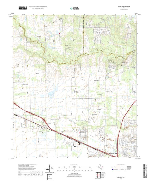
2022 Map of Hockley
USGS Topo · Published 2022About this map
The settlement of Hockley and the northwestern reaches of Houston anchor this landscape where the boundaries of Waller, Harris, and Montgomery counties converge. The local genealogy is exceptionally well-documented through a dense network of family and community burial grounds, including the Leverkuhn Family Cem, Hegar Cem, and the Roberts Cem African American. Water defines the geography, with Spring Creek and Little Cypress Creek winding through the terrain, alongside smaller impoundments like Hegar Brothers Lake and Southard Lake.
Find a feature on this map
140 named features on this map. Tap any name to fly to it.
Don’t see what you’re looking for? This feature index may not catch every label — zoom into the map to look around manually.
Map Details
Editions of this 2022 Hockley Map
This is the sole edition of this map. No revisions or reprints were ever made.
Other maps of this area

1915 · Cypress
USGS Topo · 1:24,000

1916 · Rose Hill
USGS Topo · 1:24,000

1916 · Hockley
USGS Topo · 1:24,000

1916 · Swanson
USGS Topo · 1:24,000

1918 · Cypress
USGS Topo · 1:31,680

1919 · Swanson
USGS Topo · 1:31,680

1920 · Hockley
USGS Topo · 1:31,680

1920 · Rose Hill
USGS Topo · 1:31,680

1920 · Waller
USGS Topo · 1:31,680

1950 · Houston
USGS Topo · 1:250,000