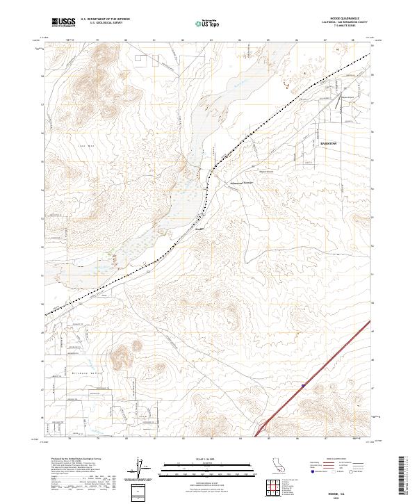
2021 Map of Hodge
USGS Topo · Published 2021About this map
Hodge and Johnstons Corner anchor this stretch of the high desert, where the National Trails Hwy traces the historical path of migration across the Mojave Desert. The landscape is dominated by the dry bed of the Mojave River, which cuts a wide sandy path through the valley, flanked by the elevated terrain of Iron Mtn to the northwest and the Brisbane Valley to the south.
Find a feature on this map
70 named features on this map. Tap any name to fly to it.
Don’t see what you’re looking for? This feature index may not catch every label — zoom into the map to look around manually.
Map Details
Editions of this 2021 Hodge Map
This is the sole edition of this map. No revisions or reprints were ever made.
Other maps of this area
1932 · Barstow
USGS Topo · 1:125,000
1934 · Barstow
USGS Topo · 1:125,000
1953 · San Bernardino
USGS Topo · 1:250,000
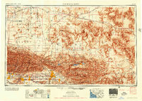
1956 · San Bernardino
USGS Topo · 1:250,000
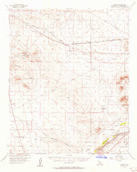
1956 · Hawes
USGS Topo · 1:62,500
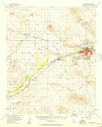
1956 · Barstow
USGS Topo · 1:62,500
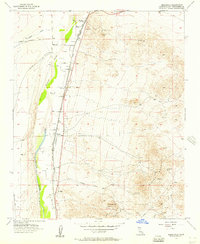
1956 · Helendale
USGS Topo · 1:24,000
1956 · Victorville
USGS Topo · 1:62,500
1957 · Apple Valley
USGS Topo · 1:62,500
1957 · San Bernardino
USGS Topo · 1:250,000