
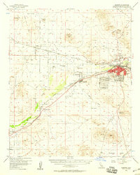
1956 Map of Barstow
USGS Topo · Published 1957About this map
The Mojave River defines the central axis of this High Desert landscape, flowing past the growing hub of Barstow. In the mid-1950s, the region was a critical junction for the Atchison Topeka and Santa Fe and Union Pacific railroads, which parallel the river and support smaller outposts like Hodge and Lenwood. Agricultural and social life in the valley is anchored by the Hinkley Valley Grange near Hinkley, while the surrounding arid terrain is dotted with mining operations such as Pedry Mine and the Waterman Mine in the Waterman Hills. A network of rural routes like Blacks Ranch Road and Stoddard Well Road connect these isolated desert settlements. The map also captures early aviation infrastructure, including the Riley Airport and a separate Airstrip, alongside essential community features like the Cameron Sch and a Racetrack on the eastern edge of Barstow.
Find a feature on this map
49 named features on this map. Tap any name to fly to it.
Don’t see what you’re looking for? This feature index may not catch every label — zoom into the map to look around manually.
Map Details
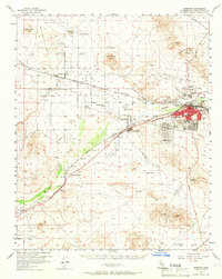
Editions of this 1956 Barstow Map
3 editions found
Other maps of this area

1915 · Searles Lake
USGS Topo · 1:250,000

1932 · Barstow
USGS Topo · 1:125,000

1933 · Avawatz Mountains
USGS Topo · 1:250,000

1934 · Barstow
USGS Topo · 1:125,000

1947 · Trona
USGS Topo · 1:250,000

1948 · Trona
USGS Topo · 1:250,000

1948 · Lane Mountain
USGS Topo · 1:62,500

1951 · Lane Mountain
USGS Topo · 1:62,500

1953 · San Bernardino
USGS Topo · 1:250,000

1953 · Trona
USGS Topo · 1:250,000