
1982 Map of Hofeld Lake
USGS Topo · Published 1982About this map
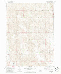
Hofeld Lake serves as a prominent landmark in this sparsely settled region of the Nebraska Sandhills, providing a rare surface water source amidst a landscape of undulating dunes. The terrain is characterized by a high density of small depressions and wetlands, with Long Creek threading through the northern reaches of the quadrangle. Human impact on the land is represented by scattered infrastructure, including a Radio Tower and several remote Well sites, which were vital for the cattle ranching operations that defined the area in the early 1980s. A small Claypit in the southern portion of the map suggests localized mineral extraction. The absence of established towns or major highways underscores the remote, pastoral character of Brown County at the time this survey was edited by the Geological Survey.
Find a feature on this map
6 named features on this map. Tap any name to fly to it.
Don’t see what you’re looking for? This feature index may not catch every label — zoom into the map to look around manually.
Map Details
Editions of this 1982 Hofeld Lake Map
This is the sole edition of this map. No revisions or reprints were ever made.
Other maps of this area

1954 · Ainsworth SW
USGS Topo · 1:24,000

1954 · Ainsworth
USGS Topo · 1:24,000

1954 · Long Pine
USGS Topo · 1:24,000

1955 · O'Neill
USGS Topo · 1:250,000

1959 · O'Neill
USGS Topo · 1:250,000

1969 · O'Neill
USGS Topo · 1:250,000

1982 · Lost Lake Ranch
USGS Topo · 1:24,000

1982 · Raven
USGS Topo · 1:24,000
1982 · Raven SW
USGS Topo · 1:24,000
1982 · Hagan Lake
USGS Topo · 1:24,000