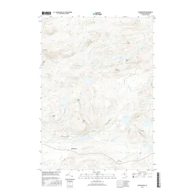
2016 Map of Hoffmeister
USGS Topo · Published 2016About this map
Hoffmeister serves as the primary point of settlement in this 2016 survey, situated along the South Branch West Canada Creek. The landscape is dominated by a complex network of glacial lakes and mountain ridges, including the Metcalf Range and peaks like Wilmurt Mtn and Signal Mtn. This high-elevation terrain is defined by its water systems, from the expansive Metcalf Lake and Wilmurt Lake to the interconnected Metcalf Chain of Lakes and the distinct wetlands of Big Rock Vly.
Find a feature on this map
55 named features on this map. Tap any name to fly to it.
Don’t see what you’re looking for? This feature index may not catch every label — zoom into the map to look around manually.
Map Details
Editions of this 2016 Hoffmeister Map
This is the sole edition of this map. No revisions or reprints were ever made.
Other maps of this area

1900 · Canada Lake
USGS Topo · 1:62,500

1900 · Wilmurt
USGS Topo · 1:62,500

1901 · Old Forge
USGS Topo · 1:62,500

1902 · Wilmurt
USGS Topo · 1:62,500

1903 · West Canada Lakes
USGS Topo · 1:62,500

1904 · Piseco Lake
USGS Topo · 1:62,500

1906 · Piseco Lake
USGS Topo · 1:62,500

1908 · Piseco Lake
USGS Topo · 1:62,500

1950 · Utica
USGS Topo · 1:250,000
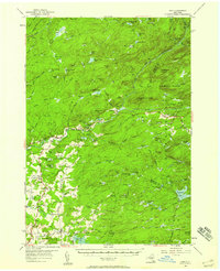
1954 · Ohio
USGS Topo · 1:62,500