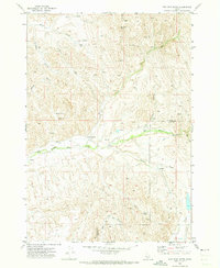
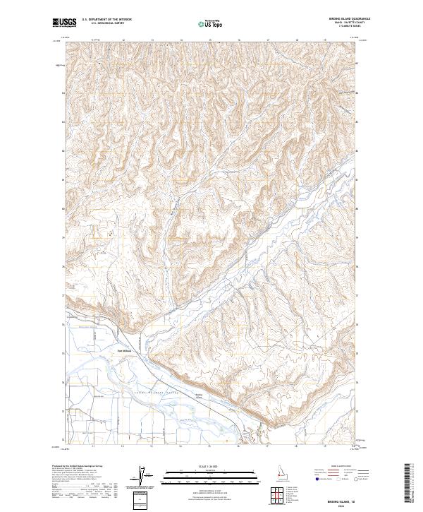
1970 Map of Hog Cove Butte
USGS Topo · Published 1973This historical map portrays the area of Hog Cove Butte in 1970, primarily covering Payette County as well as portions of Gem County. Featuring a scale of 1:24000, this map provides a highly detailed snapshot of the terrain, roads, buildings, counties, and historical landmarks in the Hog Cove Butte region at the time. Published in 1973, it is the sole known edition of this map.
Find a feature on this map
30 named features on this map. Tap any name to fly to it.
Don’t see what you’re looking for? This feature index may not catch every label — zoom into the map to look around manually.
Map Details
Editions of this 1970 Hog Cove Butte Map
This is the sole edition of this map. No revisions or reprints were ever made.
Historical Maps of Gem County Through Time
9 maps found
1952 Birding Island
Payette County, ID
1965 Parma SE
Payette County, ID
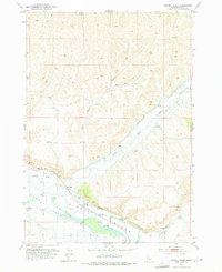
1970 Hog Cove Butte
Payette County, ID
1970 Sheep Ridge
Payette County, ID
1998 Birding Island
Payette County, ID
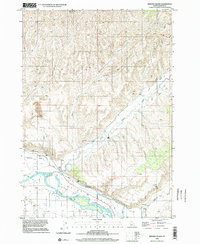
2023 Parma SE
Payette County, ID
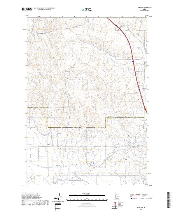
2024 Birding Island
Payette County, ID
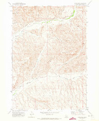
2024 Hog Cove Butte
Payette County, ID
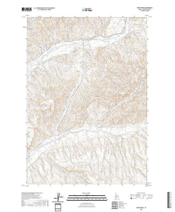
2024 Sheep Ridge
Payette County, ID