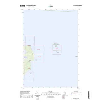
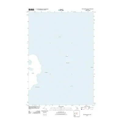
2023 Map of Hog Island East
USGS Topo · Published 2023About this map
The Beaver Archipelago dominates this northeastern section of Lake Michigan, where maritime protection and conservation efforts define the landscape. Portions of the Michigan Islands National Wildlife Refuge and the Michigan Islands Wilderness encompass isolated landforms like Hat Island and Shoe Island. The central focus remains Hog Island, an uninhabited landmass characterized by its irregular shoreline, including Fisherman Bay and Baltimore Bay.
Find a feature on this map
16 named features on this map. Tap any name to fly to it.
Don’t see what you’re looking for? This feature index may not catch every label — zoom into the map to look around manually.
Map Details
Editions of this 2023 Hog Island East Map
This is the sole edition of this map. No revisions or reprints were ever made.
Other maps of this area

1955 · Hog Island
USGS Topo · 1:62,500

1955 · Cheboygan
USGS Topo · 1:250,000

1958 · Cheboygan
USGS Topo · 1:250,000

1958 · Cross Village
USGS Topo · 1:62,500

1984 · Beaver Island
USGS Topo · 1:100,000
1986 · Hog Island West
USGS Topo · 1:24,000
1986 · Hog Island East
USGS Topo · 1:24,000

2011 · Beaver Island North OE E
USGS Topo · 1:24,000
2011 · Hog Island West
USGS Topo · 1:24,000
2011 · Hog Island East
USGS Topo · 1:24,000