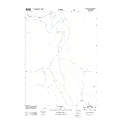
2012 Map of Hogback Ridge
USGS Topo · Published 2012About this map
Pit River winds through the northern reaches of this Shasta County landscape, punctuated by the dramatic drop of Pit River Falls. The terrain is defined by significant volcanic and tectonic elevations, including the prominent Hogback Ridge and the heights of Bald Mountain. Settlement in this part of the county remains sparse and rural, centered around established landholdings like the Saint John Ranch and a network of named forest routes and backroads. To the south, the Antelope Reservoir provides a localized water catchment in a region otherwise characterized by high-desert ridges and volcanic hills. Local transit relies on corridors like Cassel Fall River Rd and St John Ranch Rd, which connect the scattered ranches and geological landmarks of this remote Northern California territory.
Find a feature on this map
18 named features on this map. Tap any name to fly to it.
Don’t see what you’re looking for? This feature index may not catch every label — zoom into the map to look around manually.
Map Details
Editions of this 2012 Hogback Ridge Map
This is the sole edition of this map. No revisions or reprints were ever made.
Other maps of this area

1886 · Lassen Peak
USGS Topo · 1:250,000

1886 · Modoc Lava Bed
USGS Topo · 1:250,000

1892 · Modoc Lava-Bed
USGS Topo · 1:250,000

1892 · Lassen Peak
USGS Topo · 1:250,000

1894 · Lassen Peak
USGS Topo · 1:250,000

1932 · Bartle
USGS Topo · 1:96,000

1935 · Burney
USGS Topo · 1:96,000

1939 · Burney
USGS Topo · 1:125,000

1939 · Halls Flat
USGS Topo · 1:125,000

1939 · Bartle
USGS Topo · 1:125,000