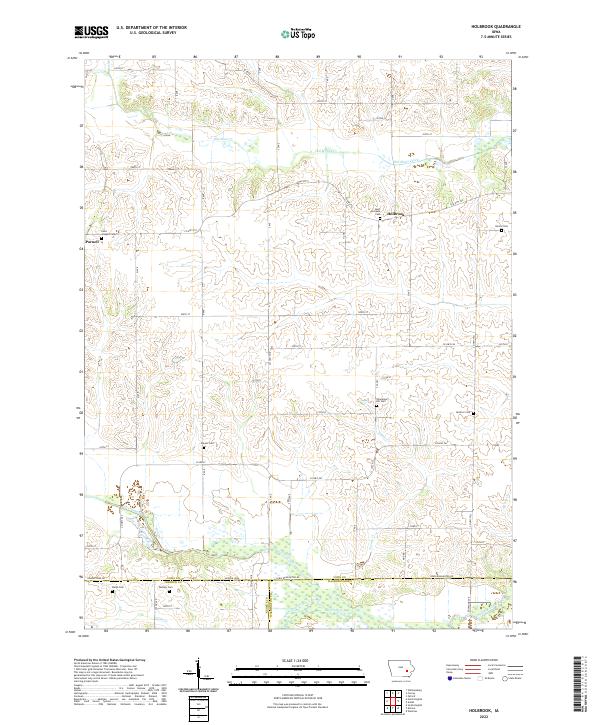
2022 Map of Holbrook
USGS Topo · Published 2022About this map
The settlement of Holbrook and the neighboring community of Parnell anchor this landscape along the borders of Iowa, Keokuk, and Washington counties. This agricultural region is defined by the winding paths of Old Mans Creek in the north and the South English River in the south, which create a complex network of timbered draws and bottomlands. Genealogists and local historians will find an exceptional density of family and parish burial grounds, including Saint Michaels Cem, Ricord Cem, and Champion Hill Cem. The terrain is marked by numerous small tributaries like Teener Cr and Deer Creek, while the section lines are traced by an extensive grid of local roads such as Co HWY f52 and the Iowa-Washington Rd. These features reflect a well-established rural infrastructure that has supported the area's farming heritage for generations.
Find a feature on this map
48 named features on this map. Tap any name to fly to it.
Don’t see what you’re looking for? This feature index may not catch every label — zoom into the map to look around manually.
Map Details
Editions of this 2022 Holbrook Map
This is the sole edition of this map. No revisions or reprints were ever made.
Other maps of this area

1891 · Oxford
USGS Topo · 1:62,500

1894 · Oxford
USGS Topo · 1:62,500

1903 · Fairfax
USGS Topo · 1:125,000

1954 · Des Moines
USGS Topo · 1:250,000

1956 · Des Moines
USGS Topo · 1:250,000

1957 · Des Moines
USGS Topo · 1:250,000

1958 · Davenport
USGS Topo · 1:250,000

1961 · Davenport
USGS Topo · 1:250,000

1962 · Davenport
USGS Topo · 1:250,000

1965 · South English
USGS Topo · 1:24,000