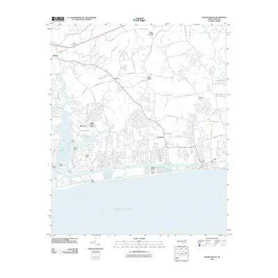
2010 Map of Holden Beach
USGS Topo · Published 2010About this map
Holden Beach and the surrounding coastal reaches of Brunswick County are defined by a complex network of waterways, including the Shallotte River and the Lockwoods Folly River. This landscape is characterized by its transition from inland settlements like Red Bug and Oak Grove to the marshy points and islands along the Intracoastal Waterway. Notable landmarks such as Boone Landing and Holden Ferry highlight the region's historical reliance on waterborne transport and local crossings.
Find a feature on this map
74 named features on this map. Tap any name to fly to it.
Don’t see what you’re looking for? This feature index may not catch every label — zoom into the map to look around manually.
Map Details
Editions of this 2010 Holden Beach Map
This is the sole edition of this map. No revisions or reprints were ever made.
Other maps of this area

1943 · Holden Beach
USGS Topo · 1:24,000

1943 · Exum
USGS Topo · 1:24,000

1943 · Bolivia
USGS Topo · 1:24,000

1943 · Lockwoods Folly
USGS Topo · 1:24,000

1943 · Supply
USGS Topo · 1:24,000

1943 · Shallotte
USGS Topo · 1:24,000

1944 · Supply
USGS Topo · 1:31,680

1944 · Bolivia
USGS Topo · 1:31,680

1944 · Lockwoods Folly
USGS Topo · 1:31,680

1944 · Shallotte
USGS Topo · 1:31,680