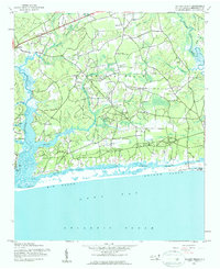
1943 Map of Holden Beach
USGS Topo · Published 1962About this map
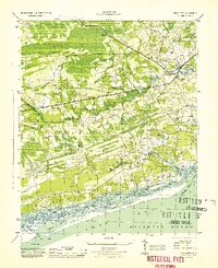
Holden Ferry connects the coastal mainland to the barrier strand in this 1943 survey of the Brunswick County shoreline. The landscape is defined by the winding course of the Lockwoods Folly River and the Shallotte River, which drain into the Intracoastal Waterway and the Atlantic Ocean. Settlement patterns during the early 1940s are primarily rural and dispersed, with small communities like Sivey Town, Fulford, and the curiously named Red Bug situated along a network of unimproved roads and the U. S. Highway 17 corridor.
Find a feature on this map
47 named features on this map. Tap any name to fly to it.
Don’t see what you’re looking for? This feature index may not catch every label — zoom into the map to look around manually.
Map Details
Editions of this 1943 Holden Beach Map
This is the sole edition of this map. No revisions or reprints were ever made.
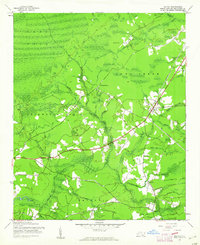
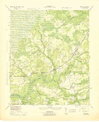
Other maps of this area

1943 · Exum
USGS Topo · 1:24,000
1943 · Bolivia
USGS Topo · 1:24,000

1943 · Lockwoods Folly
USGS Topo · 1:24,000

1943 · Supply
USGS Topo · 1:24,000
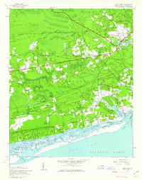
1943 · Shallotte
USGS Topo · 1:24,000

1944 · Supply
USGS Topo · 1:31,680
1944 · Bolivia
USGS Topo · 1:31,680

1944 · Lockwoods Folly
USGS Topo · 1:31,680
1944 · Shallotte
USGS Topo · 1:31,680

1949 · Georgetown
USGS Topo · 1:250,000