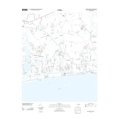
2013 Map of Holden Beach
USGS Topo · Published 2013About this map
Holden Beach and its residential development dominate the shoreline of Long Bay in this coastal Brunswick County study. The barrier island's relationship with the mainland is defined by the Intracoastal Waterway, where the Holden Marina Ferry and Holden Beach Marina facilitate access between the beach and the mainland communities. To the west, the landscape fragments into the salt marshes and sounds of The Swash and Gibbs Creek, leading toward Shell Point and the complex tidal waters around Sage Island.
Find a feature on this map
54 named features on this map. Tap any name to fly to it.
Don’t see what you’re looking for? This feature index may not catch every label — zoom into the map to look around manually.
Map Details
Editions of this 2013 Holden Beach Map
This is the sole edition of this map. No revisions or reprints were ever made.
Other maps of this area

1943 · Holden Beach
USGS Topo · 1:24,000

1943 · Exum
USGS Topo · 1:24,000

1943 · Bolivia
USGS Topo · 1:24,000

1943 · Lockwoods Folly
USGS Topo · 1:24,000

1943 · Supply
USGS Topo · 1:24,000

1943 · Shallotte
USGS Topo · 1:24,000

1944 · Supply
USGS Topo · 1:31,680

1944 · Bolivia
USGS Topo · 1:31,680

1944 · Lockwoods Folly
USGS Topo · 1:31,680

1944 · Shallotte
USGS Topo · 1:31,680