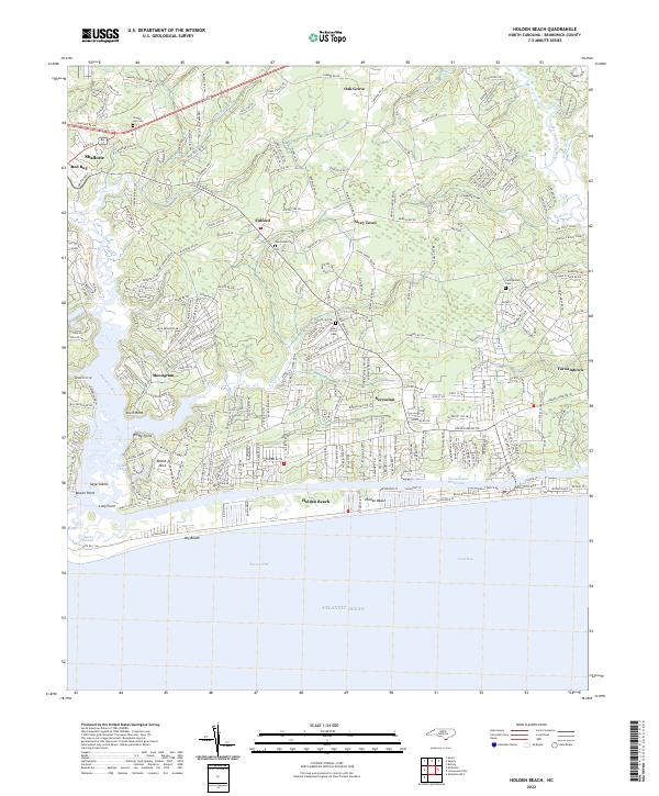
2022 Map of Holden Beach
USGS Topo · Published 2022About this map
The Intracoastal Waterway separates the barrier island of Holden Beach from the mainland marshes and riverine landscapes of Brunswick County in the early 21st century. This coastal geography is defined by the convergence of the Shallotte River and Lockwoods Folly River, which frame a series of small, established communities like Sivey Town, Fulford, and Secession. The transition from the dense town grid of Shallotte in the northwest to the maritime forests and swamps, such as Bell Swamp and Ox Pen Swamp, illustrates the region's balance between residential development and its natural estuarine systems.
Find a feature on this map
234 named features on this map. Tap any name to fly to it.
Don’t see what you’re looking for? This feature index may not catch every label — zoom into the map to look around manually.
Map Details
Editions of this 2022 Holden Beach Map
This is the sole edition of this map. No revisions or reprints were ever made.
Other maps of this area

1943 · Holden Beach
USGS Topo · 1:24,000

1943 · Exum
USGS Topo · 1:24,000

1943 · Bolivia
USGS Topo · 1:24,000

1943 · Lockwoods Folly
USGS Topo · 1:24,000

1943 · Supply
USGS Topo · 1:24,000

1943 · Shallotte
USGS Topo · 1:24,000

1944 · Supply
USGS Topo · 1:31,680

1944 · Bolivia
USGS Topo · 1:31,680

1944 · Lockwoods Folly
USGS Topo · 1:31,680

1944 · Shallotte
USGS Topo · 1:31,680