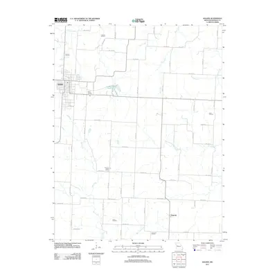
2011 Map of Holden
USGS Topo · Published 2011About this map
The settlement of Holden serves as the primary hub in this western Johnson County landscape, characterized by a dense network of rural roads such as SW 1001st RD and SW 200th RD that partition the agricultural terrain. To the south, the smaller community of Magnolia anchors the map's lower edge near the meandering course of White Oak Creek. This area is deeply rooted in local family history, evidenced by a significant number of burial grounds distributed across the townships, including Ferguson Cemetery in the north and Outon Cemetery further south.
Find a feature on this map
54 named features on this map. Tap any name to fly to it.
Don’t see what you’re looking for? This feature index may not catch every label — zoom into the map to look around manually.
Map Details
Editions of this 2011 Holden Map
This is the sole edition of this map. No revisions or reprints were ever made.
Other maps of this area

1885 · Warrensburg
USGS Topo · 1:125,000

1887 · Harrisonville
USGS Topo · 1:125,000

1887 · Warrensburg
USGS Topo · 1:125,000

1892 · Harrisonville
USGS Topo · 1:125,000

1894 · Harrisonville
USGS Topo · 1:125,000

1894 · Warrensburg
USGS Topo · 1:125,000

1947 · Jefferson City
USGS Topo · 1:250,000

1947 · Lawrence
USGS Topo · 1:250,000

1950 · Lawrence
USGS Topo · 1:250,000

1954 · Jefferson City
USGS Topo · 1:250,000