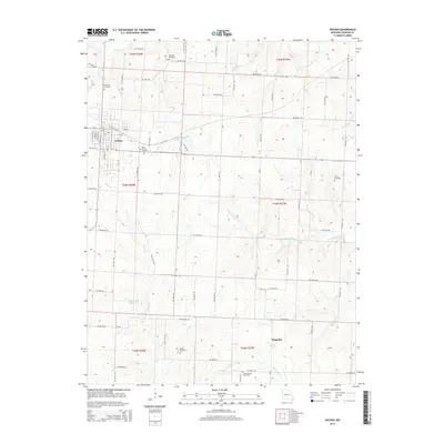
2014 Map of Holden
USGS Topo · Published 2014About this map
The town of Holden serves as the primary hub of activity in this west-central Missouri landscape, characterized by a grid of rural roads and scattered farmsteads. The settlement is anchored by a network of local streets including St Charles St, S Main St, and E 4th St, reflecting its growth as a regional center. Outside the town, the terrain is defined by several cemeteries that offer significant value for genealogical research, such as Saint Patrick Cemetery, Ferguson Cemetery, and Fairview Cemetery.
Find a feature on this map
73 named features on this map. Tap any name to fly to it.
Don’t see what you’re looking for? This feature index may not catch every label — zoom into the map to look around manually.
Map Details
Editions of this 2014 Holden Map
This is the sole edition of this map. No revisions or reprints were ever made.
Other maps of this area

1885 · Warrensburg
USGS Topo · 1:125,000

1887 · Harrisonville
USGS Topo · 1:125,000

1887 · Warrensburg
USGS Topo · 1:125,000

1892 · Harrisonville
USGS Topo · 1:125,000

1894 · Harrisonville
USGS Topo · 1:125,000

1894 · Warrensburg
USGS Topo · 1:125,000

1947 · Jefferson City
USGS Topo · 1:250,000

1947 · Lawrence
USGS Topo · 1:250,000

1950 · Lawrence
USGS Topo · 1:250,000

1954 · Jefferson City
USGS Topo · 1:250,000